
Scioto Bottomland Clearing Near Piketon, Ohio
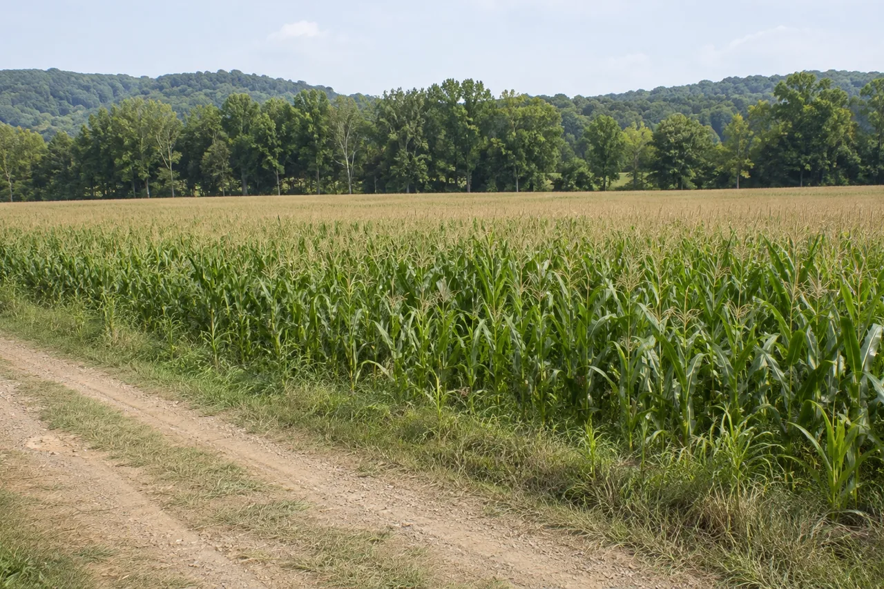
The Scioto bottoms around Piketon are flat, open ground until the river comes up. At the Piketon gauge, flood stage is 20 feet, and the highest listed crest is 37.2 feet. Before clearing low ground, know what floods at each level and which office to call.
What the river does at each level
These stages for the Scioto River at Piketon come from National Weather Service data, as displayed by a third-party river site.
| Stage at Piketon | What it means |
|---|---|
| 17 ft | Action stage |
| 20 ft | Flood stage. Creeks flood by backwater, along with low county roads. S.R. 220 near River Road is covered. Affects Scioto and Camp Creek Townships. |
| 24 ft | Moderate flood stage |
| 28 ft | Parts of Piketon flood |
| 30 ft | Many areas of Piketon flood |
| 36 ft | Major flood stage. About the level of a FEMA 1 percent flood, with sections of U.S. 23, East Main Street in Piketon, and backwater on the west side of Waverly. |
Highest listed crests: 37.2 ft on March 13, 1913; 32.56 ft on January 25, 1959; 31.7 ft on March 11, 1964; 30.8 ft on January 1, 1937; and 30.1 ft on March 6, 1963. The National Weather Service marks the 1913 and 1937 crests as measured on an older gauge datum. ODOT closed S.R. 220 at River Road "due to high water" on May 17, 2019. Pike County was in the 2018 federal declaration for "severe storms, flooding, and landslides."
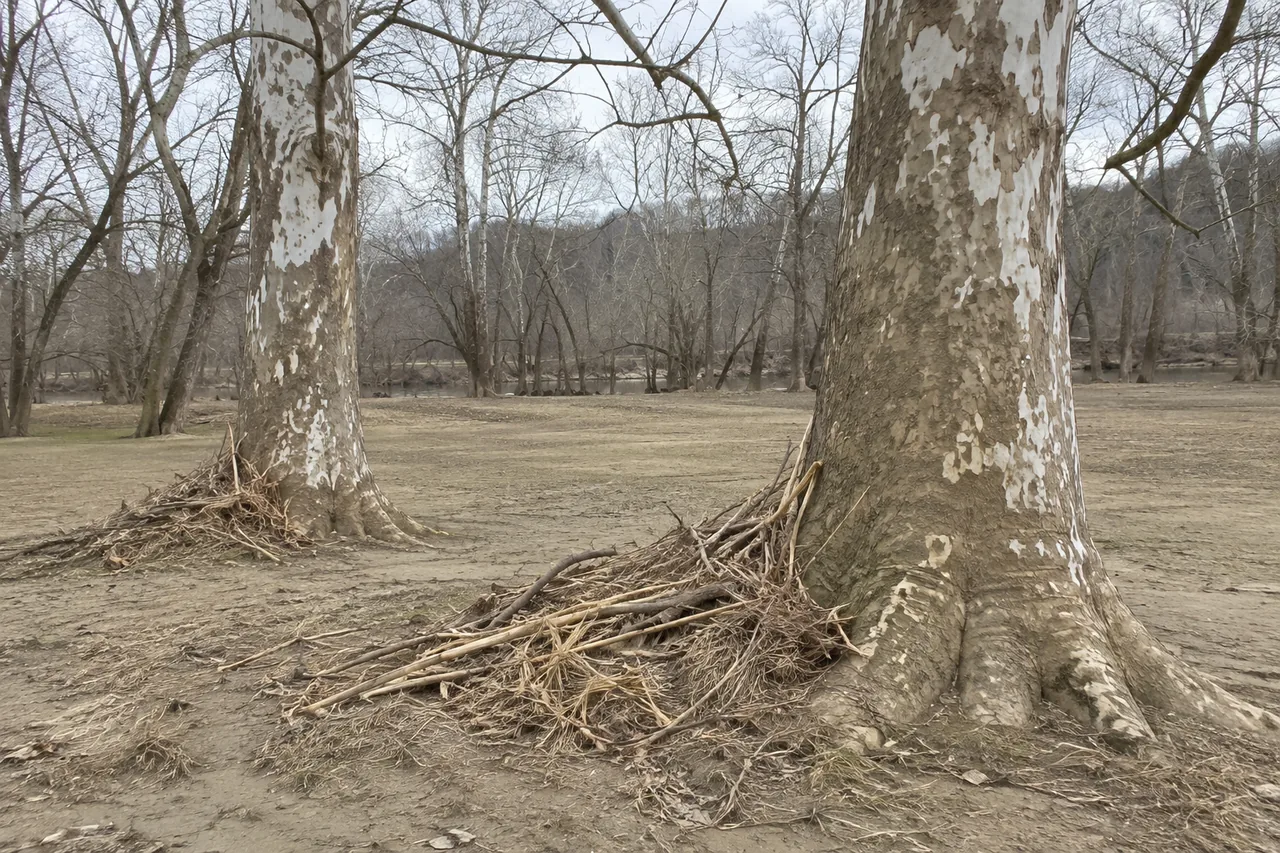
Those dates cluster in winter and early spring. Ask how a machine gets out if the river comes up, and don't leave cut brush where it'll float to a neighbor.
Floodplain rules: ask before you grade
Grading or placing fill in a mapped flood area probably takes a local floodplain permit. We couldn't read Pike County's own rule, so ask before anyone moves dirt. The state's list shows the Pike County Planning Commission coordinator at (740) 947-9573 for the county, (740) 289-8154 for Piketon, and (740) 835-5049, ext. 10, for Waverly.
Nearby: the state's list shows Chillicothe's City Safety & Service Director at 740-773-2700. Portsmouth's Engineering Department is at (740) 354-7557, and the city says: "The building permit and the flood hazard area permit must be approved."
Wetlands are the easy thing to miss
Ohio EPA says placing fill, mechanically clearing and building in wetlands can all be regulated by Ohio EPA and the Army Corps, on private land. Quote: "must obtain proper permits prior to beginning any type of earth moving activity." Wetlands can be hard to spot, and the agency says a qualified wetland professional should do the review, with the Corps making the final determination.
- Isolated wetlands have their own state permit. Quote from Ohio law: "No person shall engage in the filling of an isolated wetland" without authorization.
- Why regulators care: "Since the late 18th century, 90 percent of Ohio's wetland resources" have been destroyed or degraded, in Ohio EPA's words.
- Who to call: Ohio EPA's wetland contact is 614-644-2001. The Army Corps' Huntington District was set to become the single regulatory contact for Ohio starting October 1, 2026, according to the Ohio Manufacturers' Association.
Wet swales, old channels and low spots that hold water into June deserve a call before a mulcher goes through them.
Streams and bare soil
Ohio's construction permit asks for a 50-foot undisturbed natural buffer along streams: "If feasible, provide and maintain a 50-foot undisturbed natural buffer." Within 50 feet of surface water, bare areas need stabilizing within two days, not seven. That applies at one acre or more of disturbance, or as part of a larger common plan. There's more on the permits page.
Wells and septic on low ground
Ohio's rule says a new private water system "shall not be located within a one hundred year floodplain," with listed exceptions including a board of health variance, and it's also barred from a floodway. New septic layouts go through a soil evaluation. The Pike County General Health District is at (740) 947-7721. Call before you commit to a house spot on the bottoms.
Soils on the terraces
Not all low ground is the same. USDA describes the Sciotoville soil, "mainly along the Ohio River and its upper tributaries," as sitting on stream terraces with a fragipan at 18 to 38 inches. Flat ground over a dense layer like that can stay wet well after rain. Whether it's on your parcel takes a soil map. Ask Pike Soil and Water Conservation District at 740-947-5353.
Who this page is not for
If your land is above the bottoms, read the hillside page instead. If you just want a fence row cleaned up, see acreage and pasture clearing.
Common questions
Can I put a well on my bottomland?
Ohio's rule says a new private water system shall not be in the 100-year floodplain, with listed exceptions including a variance. Ask the health district.
Do I need a permit to clear brush on the bottoms?
Possibly. Wetlands, streams and flood areas each have their own rules, and an acre or more of construction clearing brings in the stormwater permit. Ask before work starts.
How do I find out if my land is in the floodplain?
Ask the Planning Commission at (740) 947-9573. FEMA's flood maps are the usual reference.
What time of year works best on low ground?
Listed crests cluster in winter and early spring, so a dry stretch in summer or fall is the usual thing to ask about. Bat guidance recommends cutting trees October 1 to March 31 within its buffers, so there's a trade-off.
How this site can help
Tell us the road, how close you are to the river or a creek, and whether the ground stays wet. One independent contractor who serves your part of Pike County gets the request and can walk it with you.
Related pages
Sources
- National Weather Service, Scioto River at Piketon gauge, read Nov 2026
- ODOT District 9 closure notice, S.R. 220, May 2019
- FEMA-4360-DR declaration, Federal Register, May 8, 2018
- ODNR floodplain administrators list, Oct 21, 2025
- Portsmouth flood plan information, modified Dec 30, 2021
- Pike County Planning Commission
- Village of Piketon offices
- Waverly zoning and building page
- Ohio EPA, Know Before You Build (wetlands), January 2026
- ORC 6111.021, isolated wetlands
- Ohio EPA, Ohio wetlands, July 2023
- Ohio Manufacturers' Association on the Army Corps change, Sept 4, 2026
- Ohio EPA Construction General Permit OHC000006, effective Apr 23, 2023
- OAC 3701-28-07, private water system location
- Pike County General Health District, contact page
- USDA NRCS, Sciotoville soil series
- Pike Soil and Water Conservation District listing
- ODNR, State Bat Survey Guidance, May 2026
Read November 2026. Rules change, so check the office that decides before you rely on any of this.
Got ground that needs clearing?
Call, or send a few details online.